
Why is natural flood management so important in our neck of the woods?
For those of us who lived through the devastating effects of the 2019 floods, the answer seems obvious. But some aren’t aware of just how regularly the Arkle Beck breaks its banks.
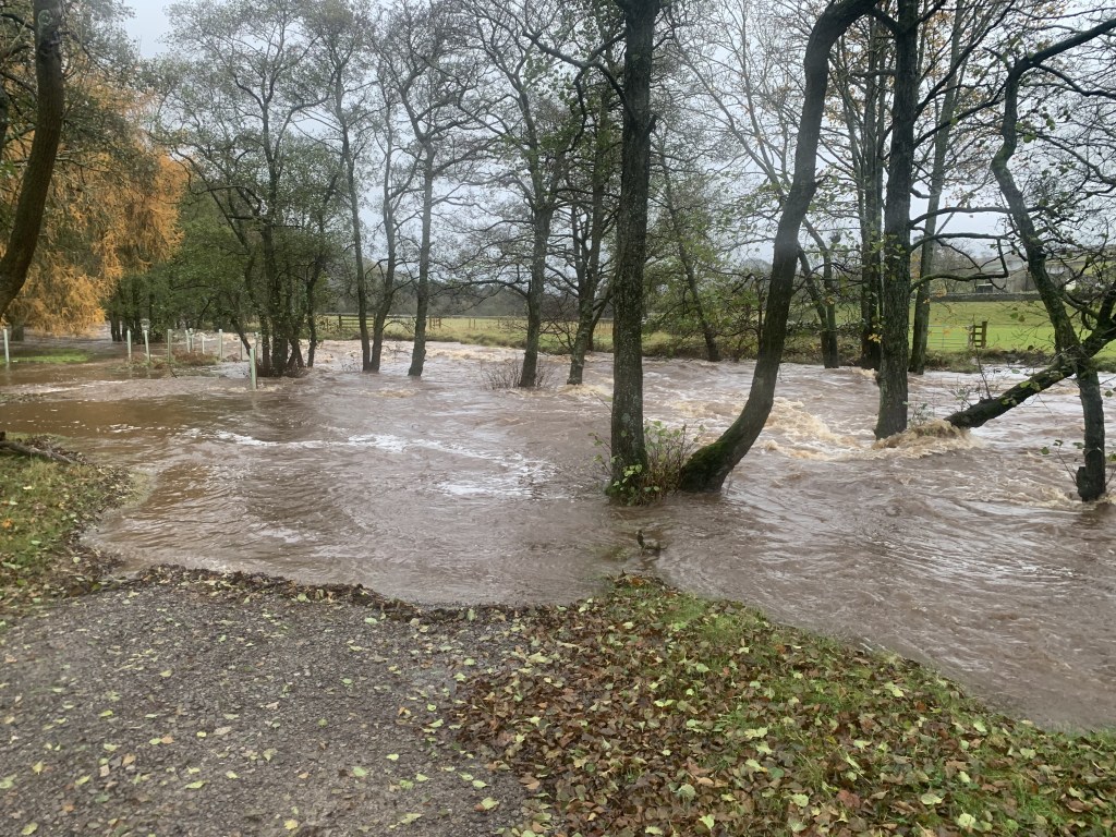
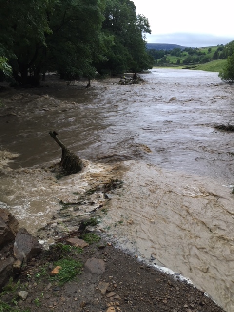
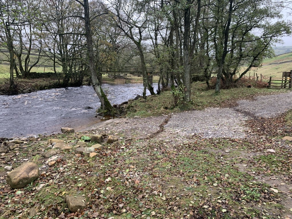
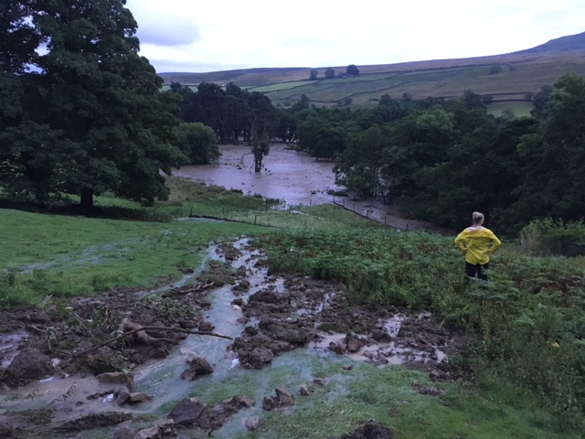
This is very easy for us to observe on the cluster, where the Ford crossing to Heggs becomes impassable several times a year, and tide lines of debris act as clear indicators of the Arkle’s continual rise and fall.
During these times, the riverside footpath between the Ford and the first hillock often becomes submerged too, washing away top soil and leaving the roots of the Alder on the banks more exposed.
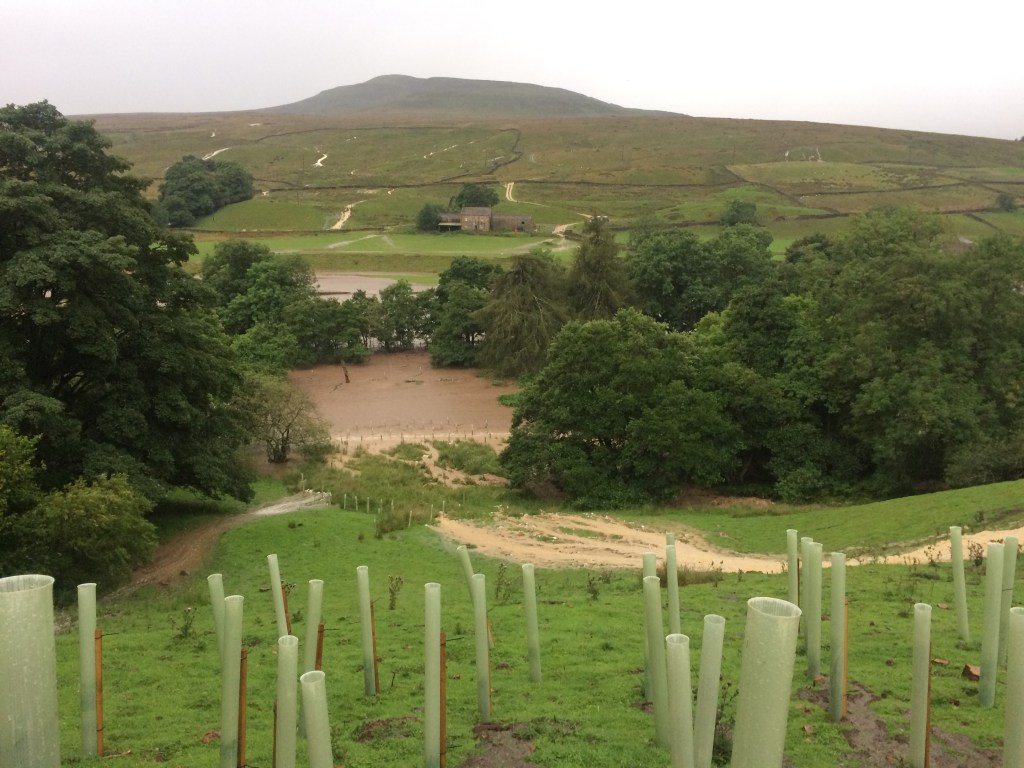
Opposite the island of Scott’s pine, the flood plain sees constant use throughout the wetter months, and the flow pathways of the Arkle change at a surprising rate. Of course the function of the flood plain is to absorb such events. What we’re keen to do here — as along the whole stretch of riverfront — is to better support and stabilise the bank, through a mix of planting and coppicing.
So what causes the Arkle to rise?
Increased surface run-off.
Fremington Edge is covered by seasonal springs, gills and underground channels, that soon kick into action during periods of heavy rain. Pausing on Arkengarthdale Road, you can often see streams of white water pouring down the fell; gills that are dormant for 7 months of the year suddenly become torrents, and water bubbles out of the hillside at ever-changing locations.
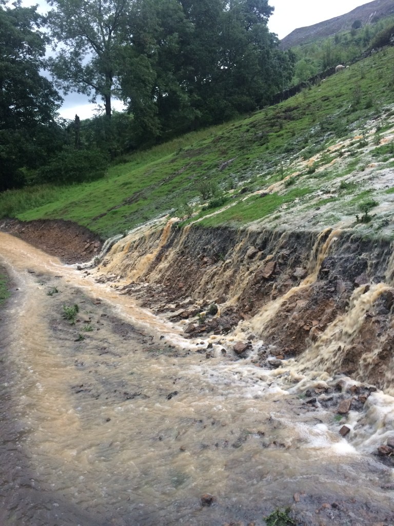
Surface run-off is caused in part by poor soil infiltration; in part by large amount of rainfall in a very short period of time. We experience a mix of both at the cluster.
Our planned Natural Flood Management works — including leaky dams, scrapes, sediment traps and riparian planting — all aim to reduce surface run-off. In addition to biodiversity uplift, our new 30ha woodland hopes to do the same.
How?
Various studies show that a vegetative layer with high ground cover ie broad leaf woodland is more efficient in reducing surface run-off on sloping sites. This is because woodlands intercept rainfall in their canopy and release it to the ground more slowly, allowing more throughfall to infiltrate into the soil. Their extensive root system plays a part too — averaging 3m long, compared to 0.5m for grasses — increasing the soil’s water storage capacity, and minimising erosion.
How to monitor and measure this? We’re working on it…
Liz
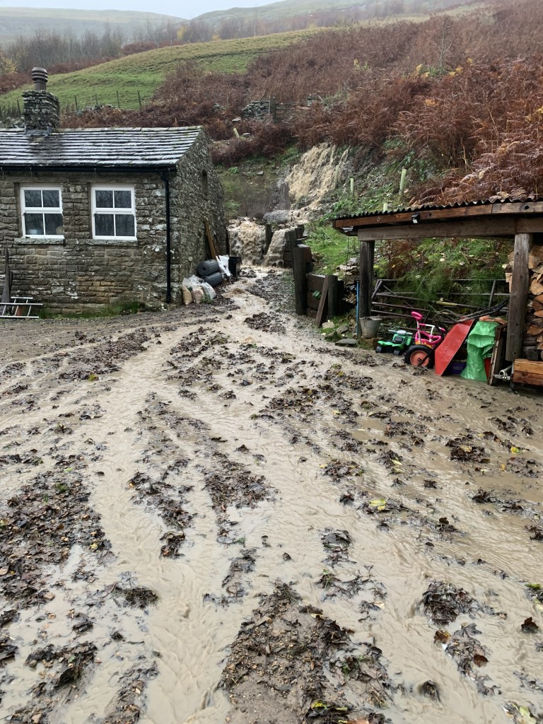

Coping with a flooding river isn’t too bad, but seasonal springs popping up where it wants each time is another matter.
LikeLike